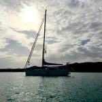
Judging our route in hindsight, we still think it mostly worked out great. Even though we sometimes deviated from it, what we had planned in theory prior to our seven-month long trip, proved to be a good route in practice. In total, we sailed around 4,200 miles, which took us circa six months to accomplish. One month was spent flying home for our daughter’s wedding and waiting for repairs to be done. We travelled eleven European countries and saw places we most likely won’t see again under sails. To sum it up: Europe is a very attractive sailing area!
Route and weather in retrospect


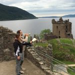

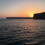
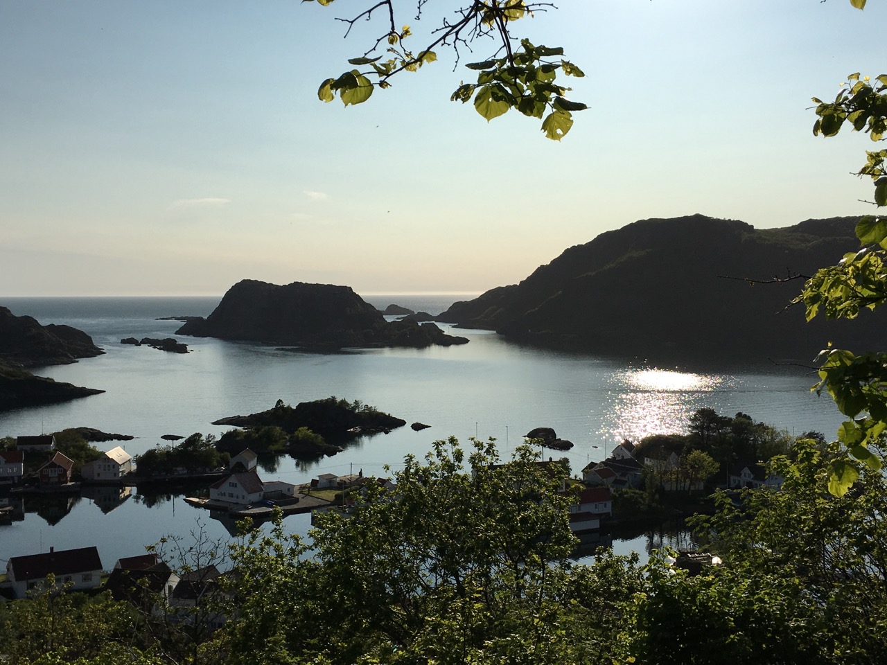
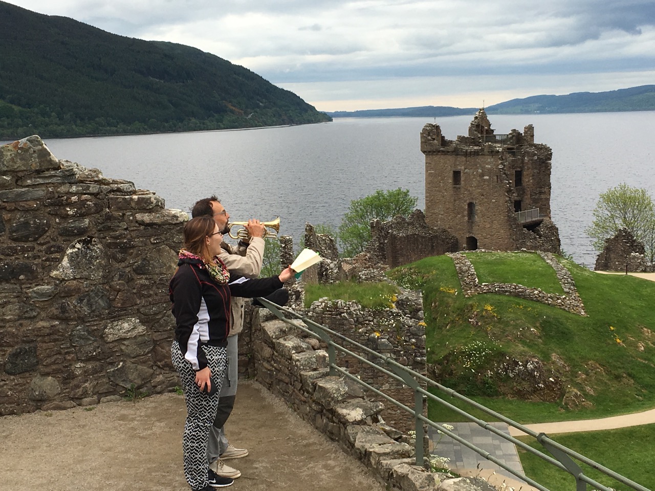
If we had to do it all over again, we would gladly choose the ‘detour’ Denmark-Sweden-Norway every time over the faster route: Kiel canal and English Channel. To sail in the North was one of our personal highlights; landscape, people and culture are phenomenal! Looking back, however, we would have loved to spend one more week in the fjords around Stavanger. The same is true for the bays and islands of Scotland’s west coast. Unfortunately, the time for both was lost due to lengthy motor-repairs. Moreover, Scots turned out to be the friendliest people all over Europe!

In order to cross the Bay of Biscay in July, we hurried along the Irish coast and were rewarded with a quiet and smooth crossing from Kinsale, Ireland to La Coruna, Galicia. It turned out to be a good choice to sail the 500 miles, 180° to the south, even though we missed out on the Scilly Islands and Brittany – maybe a trip for another time?
To take our time in Galicia, exploring its rias was a good choice – every single one is worth a visit, even though the water temperature is chilly. To find a protected anchoring spot there is a breeze!
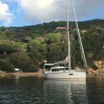
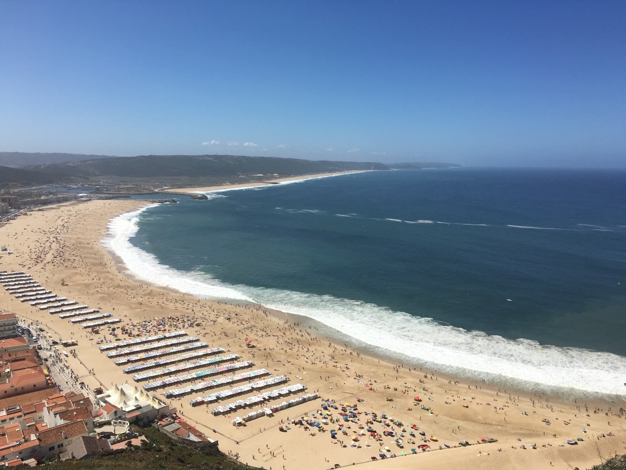
Contrary to what many sailors suggest, we did not just pass Portugal’s west coast, but took our time exploring fascinating harbors and cities and meeting extraordinary nice people (especially in the north). We did not experience much fog nor swell – the latter due to enough time we took. We had no trouble getting into the harbors, which are mostly located in the rivers.


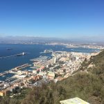
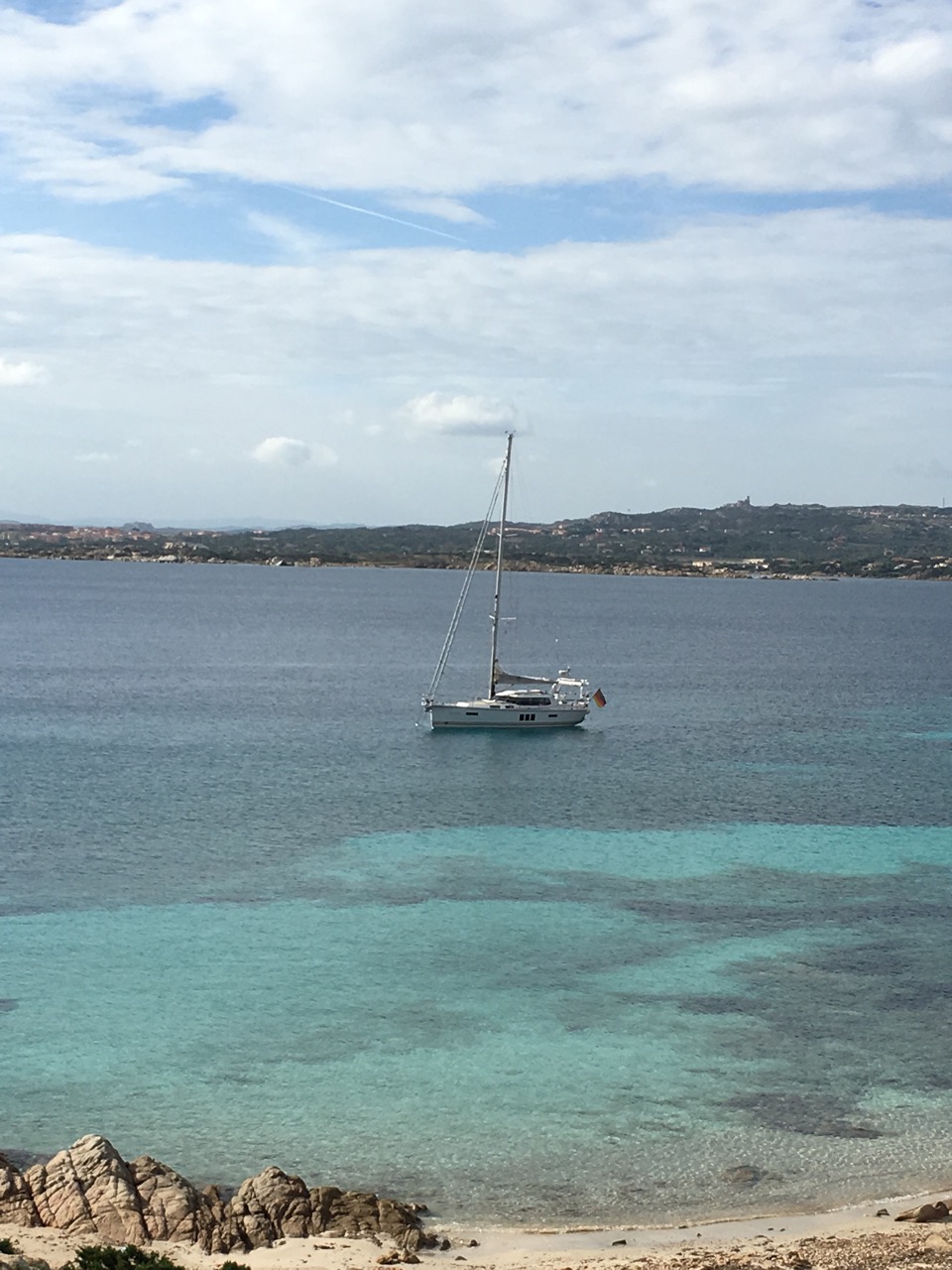
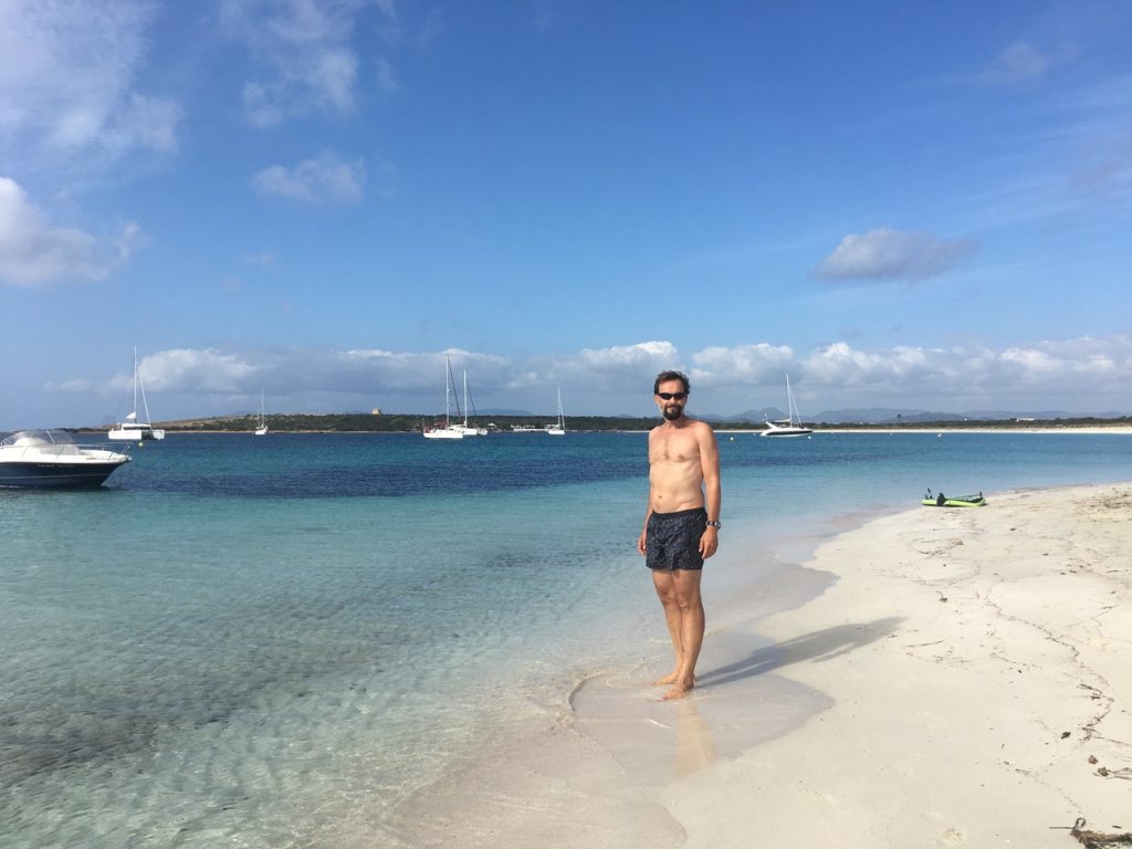
We are a big fan of the Lagunas of the Algarve – we would have loved to spend more time at Spain’s South-Atlantic coast. With the warm water and the manifold possibilities to run dry, it is the ideal sailing area for our Sirius with its low draught. Gibraltar proved to be worth a visit; Costa Blanca as well as Costa del Sol were less attractive and we passed them rather quickly. The Balearic Islands, Sardinia, Corse as well as Costa Smeralda are very beautiful in the fall and less crowded than in the summertime – wonderful sailing areas! The weather in fall is not quite stable anymore, but the water is still warm, one has the most beautiful coves to oneself and the fees are more affordable.
Speaking of fees: our membership of the English “Cruising Association” payed off with the discount for La Coruna alone. The CA usually offers better discounts than other associations like “Transocean” or “Kreutzer Abteilung”.
On the topic of security, we can say that we never felt unsafe in the countries we travelled, neither on board nor on land. Just to be safe, we always locked our companionway whether we were anchoring or in a harbor. Usually we also put our dinghy up on the swimming platform. When going off board we tried to stay out of dingy areas and dress appropriately. Other sailors shared our positive experience; these parts of Europe seem to be safe.
For navigation, we mostly used the “Navonics Platinum Maps” on our plotter. Additionally, we always had track charts on paper as well as the according Imray maps out when sailing. These were completed by some NV-charts for Denmark and Norway as well as English maps of the Caledonian Channel. The very detailed electronic maps proved quite useful for daily waypoint-navigation; the paper maps were more practical for route planning and were also our backup should the electronic mas fail us.
Weather, tide, electricity
Our start in the beginning of May was blessed with good, mostly sunny weather with moderate winds while sailing the Baltic and the North Sea. On our longer crossings to Norway and Scotland we also experienced fog, which brought soggy weather with it (long live the deck saloon!). We were able to always avoid strong winds and storm >8 Bft, as we planned enough time beforehand to wait for suitable weather conditions. Especially for the longer crossings, this was important and necessary. On the other hand, we were not ashamed to use our iron sail (our not so trusty motor) whenever there was not enough or too much wind.
In the end of October, while sailing the western Mediterranean, the weather became more and more instable. One stormy condition followed the other – the forecasts were very accurate so we were able to adjust to the weather. In between, we had perfect conditions and warm water, which made bathing possible until December!
We primarily trusted” Wetterwelt’s” Gribfiles weather forecasts, which are delivered daily (digitally). We also used their software for our longer crossings as well as route planning. Twice, we made use of their private consultation offer to find the perfect time for sailing a specific route. For spontaneous updates, their app was very helpful. On open sea, we used our Iridium satellite phone twice to stay informed about the current weather situation. We usually found the 48-hour forecasts to be very reliable. Whenever we had a difficult choice to make, we additionally used “Passagewetter’s” website as well as “Windfinder Pro” for more local forecasts.
In Scotland and Ireland, our route was primarily predetermined by tide and current. Up to 8 kn of current as well as overfalls were to be dealt with. We, the pros when it comes to the Mediterranean, had to get used to the unfamiliar conditions, but with a little bit of practice, we were able to use tide and current to our advantage. To be honest, we only calculated the tide and current data by hand in the beginning. After that we used the tide curves of our plotter with the “Navonics Platinum” software, which were quite helpful. The current data, however, was often calculated too conservatively. Additionally, the app “Tideplaner” was very useful.